- Преподавателю
- Иностранные языки
- Разработка интегрированного урока на тему Canada 10класс
Разработка интегрированного урока на тему Canada 10класс
| Раздел | Иностранные языки |
| Класс | 10 класс |
| Тип | Другие методич. материалы |
| Автор | Кунедилова С.А. |
| Дата | 29.11.2015 |
| Формат | docx |
| Изображения | Есть |

Integrated lesson
Theme: Canada
(Geography, English, Computer Science)
Prepared by S.A Kunedilova
Zh.M.Abildayeva
G.T. Nazarymbetova
Zhezkazgan -2015
Date: 22.12.2015
Grade: 10
Theme: Canada
Objectives: Students will be able …
-
to talk about Canada and share information;
-
to work in groups and make decisions;
-
to work with the maps;
-
to draw a diagram and determine the percentage of natural resources of Canada;
Equipment: active board, cards, maps, computers, posters
Introduction: Good morning, everybody!
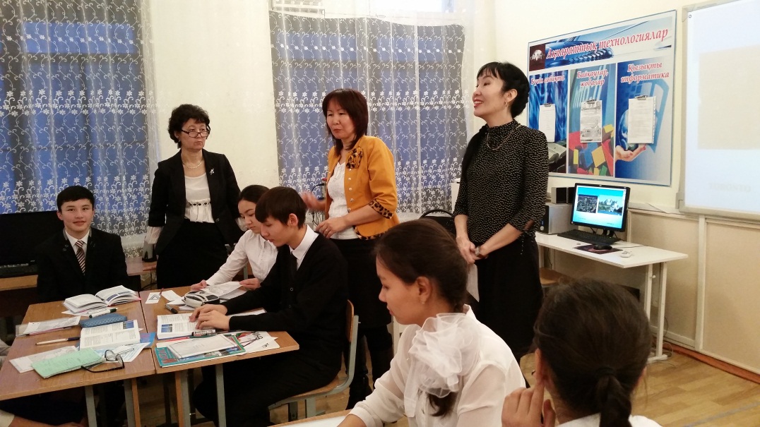
Today we are going to join three subjects on our lesson. They are Geography, Computer Science and English. It will be a team teaching with Zhanargul Magadanovna (Geography teacher), Gulbagila Toleuovna (Computer Science teacher) and me Saltanat Asanovna ( English teacher).
Zh.M: Good morning!
G.T: How are you?
S.A: Are you ready?
S.A: Fine, First of all we'll give you Self Assessments cards. During the lesson you have to give yourselves points for each task. The highest point is 3, the lowest point is 1. At the end of the lesson we'll collect your cards.
Warm-up:
S.A:Well, Let's begin. Ok, guys. I'd like you to name five countries beginning with the letter "A", "S", "C'
Presentation: "Canada"
S.A: Canada is the topic of our today's lesson. (3 min. video about Canada, a poem about Canada)
S.A: Today we are going to summarize this topic. Well, what do you know about Canada?
G.T: Where is Canada situated?
Zh.M: What is the capital of Great Britain?
G: What is the population of Canada?
Zh.M: What is the national emblem of Canada?
S.A: When did Canada become independent from Britain?
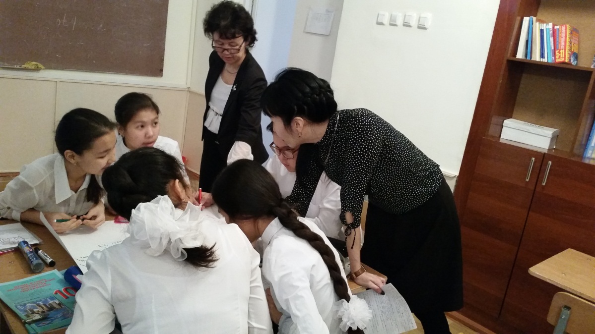
Practice: Working with contour maps
S.A: And now next task is working with your contour maps. All of you have such maps. Please, prepare them.
Zh.M: First I want you to draw a line border of Canada.
S.A: Who wants to show it on the active board? (Canada extends for thousands of miles from the Arctic Ocean to the United States and from the Atlantic Ocean to the Pacific Ocean)
Zh.M: And now can you mark the biggest cities of Canada?
(The main cities of Canada are Toronto, Montreal, Vancouver and Ottawa)
Zh.M: And the last task . Look at these signs of natural resources. Can you put these signs on appropriate places on the map. ( Canada is rich in natural resources like gas, oil, coal etc.)
The main cities of Canada
S.A: Do you remember that you were given one home task? You have to present it in groups. What was you task? ( prepare information about two Canadian cities Toronto and Ottawa)
S.A: and you're divided in 3 groups. 1st group Toronto. 2nd group Ottawa and the 3rd group's task is to compare two cities and tell us what they have in common.
Well done!
Computer science :
S: We know that Canada is rich in natural recourses. And next task is about natural recourses of Canada.
G: Ok guys, Take your seats at the computers. I want you to draw and show
-
percentage of oil and gas
-
percentage of water energy
-
percentage of coal
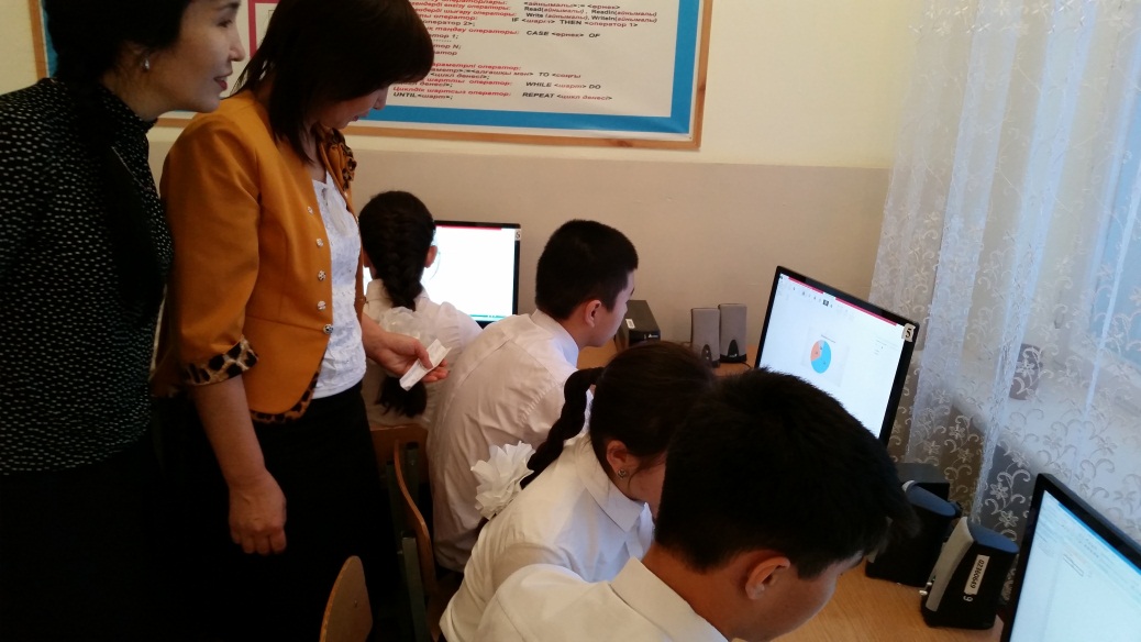
G: Have you finished? Ok, Go back to your seats. And who is ready to explain this task.
III. Production More facts about Canada….
S: Let's see what else you know about this country with very high standard of living. (PPP slides). 1-7
S: page 154 ex.5 Guess the words from the text. Vocabulary work.
Homework: Make a presentation of five slides in English on the topic "Political system of Canada"
Assessments: Well, I want you to give me your Self Assessments cards.
Thank you everybody! It was our pleasure to work with you today.